
The farming enterprise operated a mixed fleet of tractors and combines from three different manufacturers. Equipment data was locked in separate brand portals, forcing farm managers to manually compile spreadsheet reports to track daily field acres covered, diesel fuel burn rates, and idle time during tight planting windows.
Unifying Tractor Telemetry and Field Boundary Data for a 20,000-Acre Commercial Farming Enterprise
A large-scale commercial grain operation managing twenty thousand acres across two states required a single software portal to monitor machinery operations and field fuel usage.
Challenge
Solution
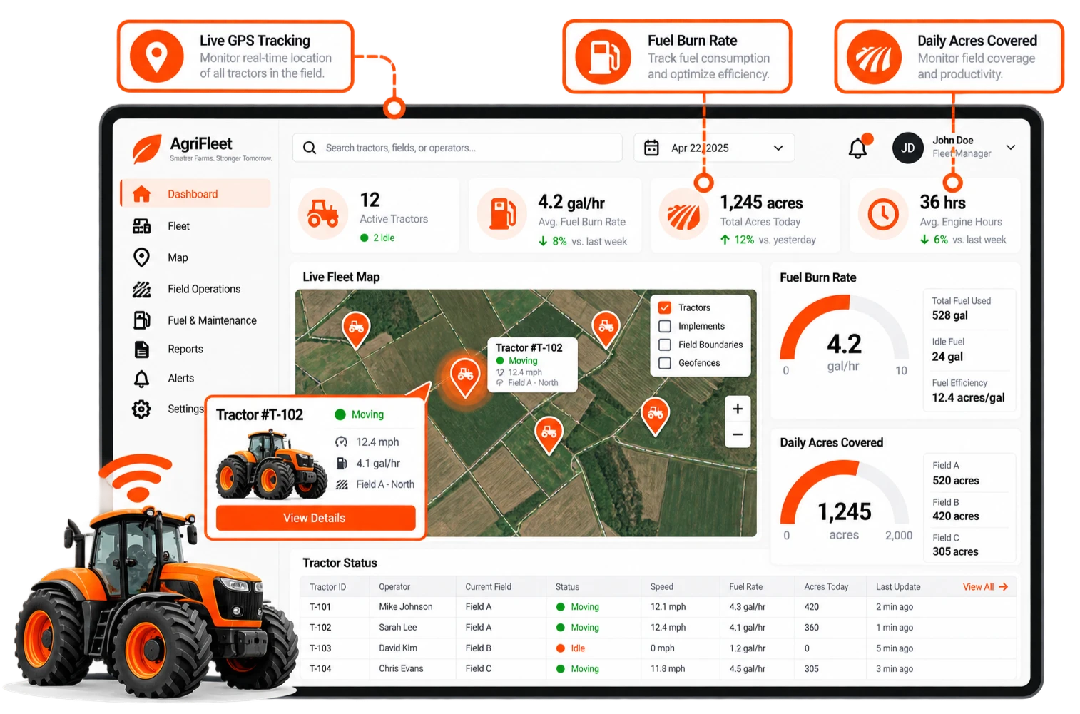
FlipWorks developed a unified machinery telemetry and GIS field mapping platform. The system ingests CAN bus telemetry via ISOBUS standards, standardizing engine metrics, fuel consumption, and field boundary coverage onto a single interactive dashboard.
Result
- Consolidated fleet telemetry from three equipment manufacturers into a single management portal.
- Identified unnecessary tractor idle time, reducing operational fuel costs across the equipment fleet.
- Provided real-time field coverage progress tracking for farm managers during critical planting windows.